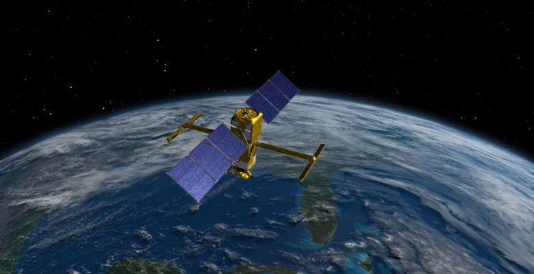
Immediate take off! This Thursday, December 15, 2022, the launch of the SWOT (Surface Water and Ocean Topography) satellite jointly designed by NASA (National Aeronautics and Space Administration, USA) and CNES (Centre Nationale d’Etudes Spatiale, France) marks the first global mission dedicated to the Earth’s surface waters. The international scientific team tackles pressing issues such as the availability of freshwater resources, the evolution of our oceans and coasts, in the context of extreme events and adaptation to climate change.
For the first time, the SWOT (Surface Water and Ocean Topography) mission will bring together two scientific communities: oceanographers and hydrologists.
Using state-of-the-art “radar interferometry” technology (comparing multiple images of the same area, taken from different positions) to measure water elevation, the SWOT satellite will observe major lakes, rivers and wetlands while detecting ocean features with unprecedented resolution.
SWOT data should provide critical information needed to assess water resources on land, track regional sea level changes, monitor coastal processes, and observe small-scale ocean currents and eddies. It will allow you to confirm the recent update of the water cycle.
Progress of the mission
The first six months of the mission include a satellite calibration and validation phase, during which the satellite will fly in a repetitive day-long orbit with reduced spatial coverage but improved temporal resolution.
The first months of the SWOT mission represent a unique opportunity to follow the rapid evolution of ocean dynamics at fine scales (10-100 km), and the rapid variations of lakes and rivers.
Ocean and climate
It is now established that the ocean is the largest reservoir of heat and carbon dioxide on the planet. Global ocean circulation balances Earth’s climate and makes our planet habitable. So far, Earth observation satellites have revealed a lot about the links between the climate and the ocean, including global warming and sea level rise.
However, much of the ocean movement occurs at scales too small to be detected on a global scale with current satellite technology. Yet these small-scale ocean currents contain most of the energy that powers the mixing and transport of water. They therefore represent essential factors in the assessment of climate change. Thanks to SWOT, some gaps in our knowledge of small-scale ocean circulation should be filled.
Freshwater resources
The warming of the Earth’s climate is also greatly altering the freshwater resources available in lakes, rivers and other reservoirs, resulting in a significant societal impact. Without an adequate inventory of terrestrial lakes and other freshwater storage reservoirs, it is impossible to assess the effects of environmental changes on sectors of activity such as agriculture or industry.
Follow or relive the live launch of SWOT:
- on the NASA YouTube channel
- on the SpaceX website