]The European Union Agency for the Space Programme (EUSPA) is highlighting the new challenges facing the polar regions – and the Arctic Circle in particular – and the space-based solutions to them.
Polar zones face many challenges
Hitherto remote and unspoilt, the polar regions are now facing new challenges.
At a time when climate change is affecting the entire globe, it is having an even greater impact on the balance of the polar circles, where temperatures are rising twice as fast as elsewhere. In the Arctic in particular, this rise in temperature is opening up new shipping lanes, increasing maritime traffic and the desire to conquer previously unspoiled areas.
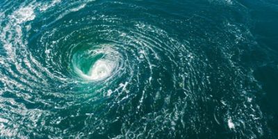
Observed weather anomalies are creating new challenges for maritime operators, as well as posing real threats to local communities and the ecosystem. At the end of 2021, for example, the extent of Arctic sea ice increased unexpectedly: open water turned to ice, causing several ships to run aground on the remote North Sea route.
Through an integrated European space programme, Europe is developing the means to better understand the challenges facing the Arctic Circle, with a view to designing new mitigation policies and developing the tools needed to combat climate change.
GALILEO and rescue missions
In the event of a grounding or collision, Search and Rescue (SAR) teams have to battle against rough seas and freezing temperatures to evacuate the vessel in time, and avoid the risk of oil spills. Having an accurate location is crucial, and time is of the essence. This is where Galileo comes in.
Galileo is the European satellite navigation system that supports search and rescue operations. It is able to provide improved positioning and timing information, and to quickly relay distress signals from beacons to the relevant SAR teams. And thanks to its unique return link function (RLS), it allows people in distress to receive an automatic acknowledgement that their signal has been received by emergency first responders.
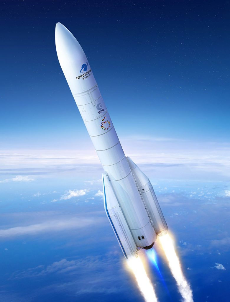
Galileo 2. © Ariane Space
Because it provides greater coverage at higher latitudes, and therefore more robust performance, the Galileo system brings particularly important added value to Arctic search and rescue operations.
The Galileo satellites are supported by three ground stations strategically deployed in Europe. So no matter how big or small the ship, the precise positioning provided by Galileo allows safe navigation in these remote waters.
COPERNICUS, the European Union’s Earth observation programme
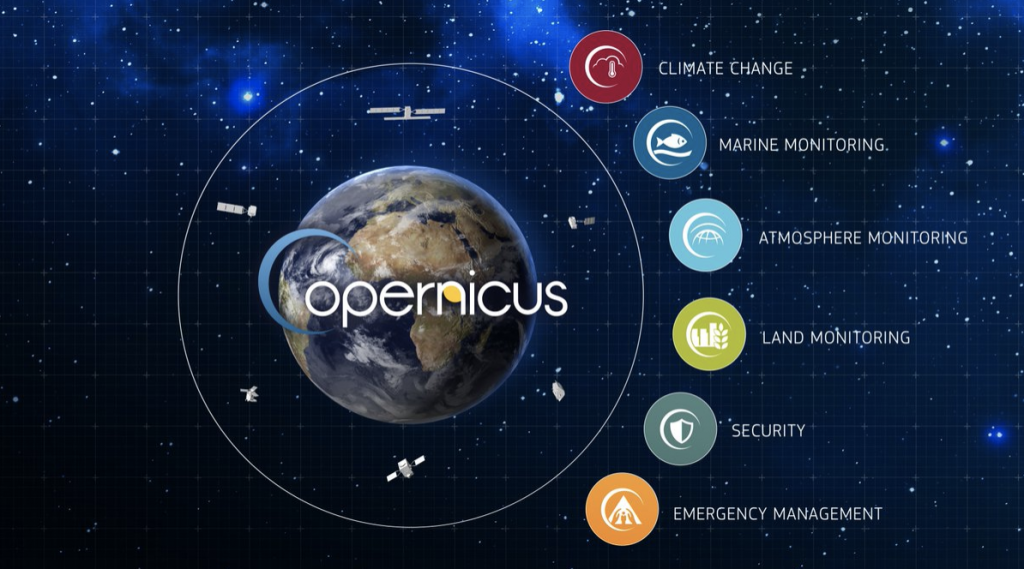
© COPERNICUS
In addition to Galileo, the Copernicus Marine Service provides ship captains and SAR teams with essential data on wave height and direction, or the presence of sea ice.
Copernicus satellites can provide optical and synthetic radar images which, combined with Galileo’s precise positioning, allow the authorities to quickly reach the site of the oil spill, understand the extent of the risk and implement the necessary actions.
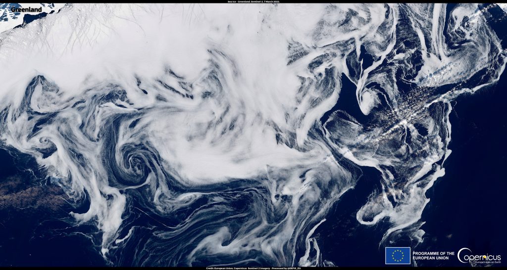
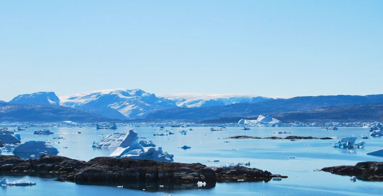
7 March 2022 : sea ice extending between Greenland and Iceland. © European Union, Copernicus Sentinel-2 imagery
Launched in 1998, Copernicus is a European Union programme that collects and delivers high-quality, continuously updated data on the state of the Earth. It is coordinated and managed by the European Commission in partnership with the European Space Agency, EU Member States and EU agencies such as the European Environment Agency and the European Maritime Safety Agency. The data collected is used operationally to manage maritime safety, monitor disasters (fires, earthquakes, etc.), anticipate harvests and improve the management of our environment. It also contributes to monitoring and dealing with the effects of climate change.
An ambitious European space programme to move towards a sustainable ocean
The European Union’s space programme therefore plays an important role in mitigating the impact of climate change on the northern environment. On the one hand, the precise navigation offered by Galileo can optimise shipping routes to reduce greenhouse gas emissions and fuel consumption. On the other hand, the Copernicus marine and climate change services monitor a number of key ocean indicators, which are essential to enable policy decisions at global level.
Ultimately, the ambition of the European Union’s space programme is to have all the necessary resources to be able to understand the challenges related to the ocean, and to be able to find solutions and drive change towards a sustainable ocean.