Moorings are deployed during oceanographic campaigns. They allow for the continuous measurement of weather and sea conditions at a specific location.
Moorings to keep buoys afloat
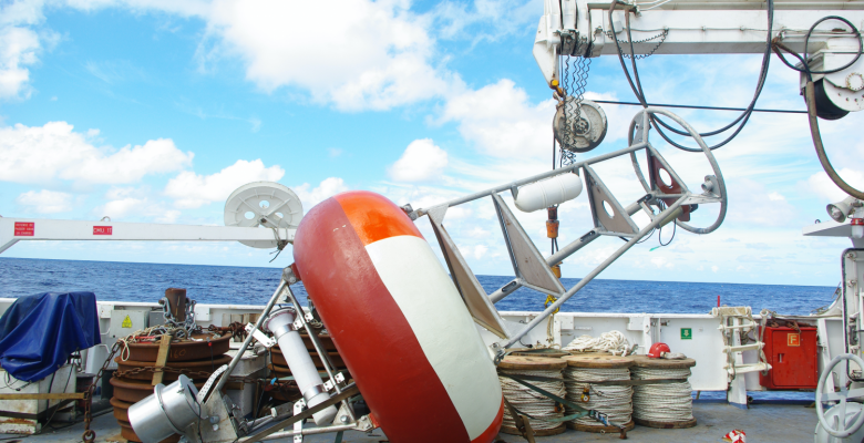
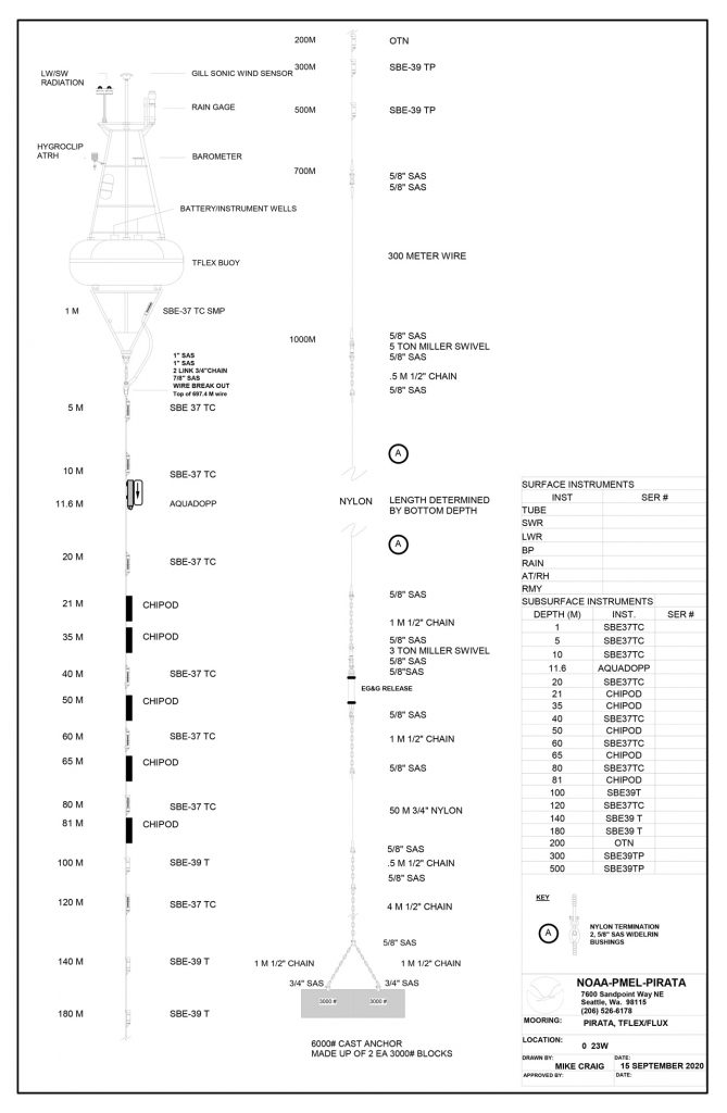
A mooring line consists of a long cable running from the surface to the bottom, which forms its backbone. This cable is held to the ocean floor by a ballast, and holds buoys on the surface that ensure its buoyancy. All along the cable, a number of oceanographic instruments are mounted to allow different types of measurements:
- measurements of ocean parameters such as temperature, salinity, or surface current;
- measurements of atmospheric parameters such as wind, temperature, humidity, solar radiation, rain, or pressure.
Copyright : IRD
An ARGOS beacon completes the system, allowing messages to be transmitted by satellite on the measured data. Each beacon has a specific identification number.
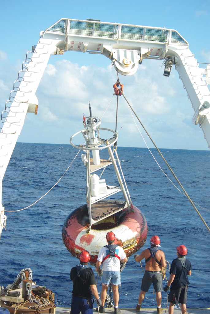
Moorings are deployed in particular geographical areas and depths. They are usually replaced every year. The PIRATA network consists of 18 fixed moorings in the equatorial Atlantic Ocean, six of which are maintained by France in the central and eastern part of the basin on the Gulf of Guinea side.
Copyright : IRD