An international team of scientists has unveiled analyses of the rise in Antarctic temperatures over the past 25 years. A study that sounds like a wake-up call.
A 25-year time series of temperature measurements acquired in the Southern Ocean has highlighted changes in the temperature of this still poorly understood ocean. Around the Antarctic continent, surface waters are tending to cool slightly, in line with increased melting of glaciers. However, this slight cooling of the surface hides a warming at depth. This warming, accompanied by an upwelling of warm water towards the surface, represents a threat to the Antarctic ice cap.
The ocean is a major component of the Earth’s climate system and an asset to ecosystems and human societies. It regulates the climate by absorbing carbon and heat from the atmosphere, helping to mitigate the effects of climate change. The Southern Ocean, which encircles Antarctica, plays the main role in this process, capturing 75% of the heat and 50% of the carbon absorbed by the world’s oceans. Yet the Southern Ocean is still the world’s most misunderstood ocean, suffering from a lack of measurements due to its climatic conditions and difficult access. Rapid changes in its properties have been observed, but the lack of long-term data makes it difficult to verify whether the observed changes are inherent to the natural variability of the Southern Ocean, or whether they mark a real shift in the longer-term regime due to human-induced climate change.
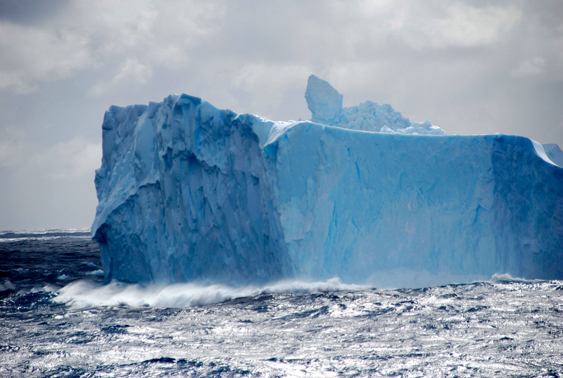
Glaciers are melting at a rate of 25 metres per decade
Compared to the changes experienced by the Arctic in recent decades, Antarctica and the Southern Ocean were thought to be more immune to climate change and ice melt. Indeed, only a small part of Antarctica has shown an increase in surface temperature near the continent. And it is only in this region, west of the Antarctic Peninsula, that a trend of strong ice melt has been documented in recent decades. It is estimated that glaciers in this area have lost up to 25 metres of thickness per decade since 1992, due to an increase in ocean surface temperature of about 0.2°C per decade. For the rest of the coast, no robust temperature trend was found for some areas. For others, a slight cooling of the surface water was observed.
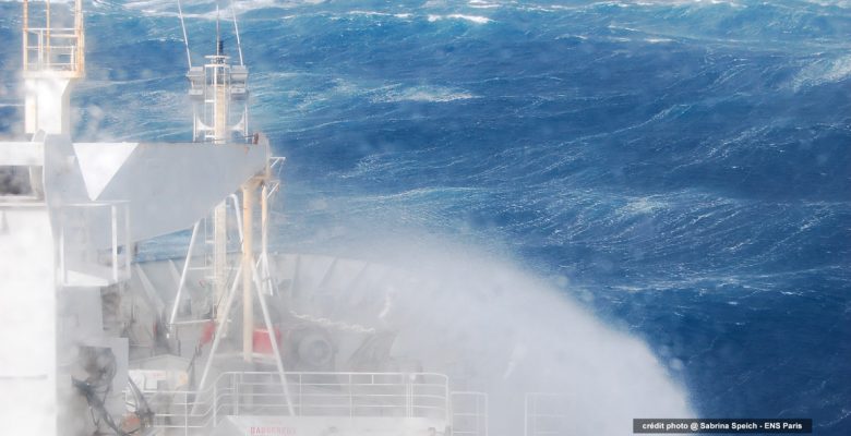
For more than 25 years, the French icebreaker L’Astrolabe has enabled scientists to take temperature measurements during the numerous refuelling trips to Dumont-d’Urville, the French base in Antarctica. During the five round trips made every summer between Tasmania and Antarctica, probes are dropped into the ocean to measure temperatures down to 800 metres. Since 1992, more than 10,000 probes have been deployed along the ship’s route between Tasmania and Antarctica. This project, the result of collaboration between France and Australia, has made it possible for the first time to clearly identify changes in the temperature of the upper layer of the Southern Ocean, and to highlight them in relation to typical interannual variability.
The data first confirmed some known results. To the north of the Southern Ocean, towards the equator, a first zone warms strongly and uniformly over the first 800 metres of depth. It is in this region that most of the heat captured by the Southern Ocean at the surface is buried at depth by the ocean circulation. This warming water then moves northwards and is redistributed into the Atlantic, Pacific and Indian Oceans. To the south towards Antarctica, the ocean surface cools. This cooling, which had been observed thanks to satellite measurements at the surface, would be due at least in part to an increased melting of the continent’s glaciers.
@ Sabrina Speich – ENS Paris
A worrying rise of the warm waters
What was not well known and what these data highlight is that this cooling, contained in the first 250 metres of the ocean, actually conceals a warming of the waters below the surface, between 250 and 450 metres deep. This warming, while it may seem small (about 0.04°C per decade), represents a drastic deviation from the usual variations at this depth. In this area, small changes in temperature can have large consequences for continental ice. This shows that the ocean is very sensitive to human-induced climate change, even in the most remote regions that one might expect to be spared.
It should also be noted that these deep waters, which are warmer than the surface waters, have risen about 100 metres in the last 25 years. This upwelling of warm water raises concerns about the future of the Antarctic ice sheet. Although other studies have already observed such upwelling, the small amount of data did not allow the phenomenon to be highlighted in relation to the typical variability of the area. Furthermore, these studies underestimated the rate of upwelling by 3 to 10 times. The concern is that the rate of upwelling of warm water is similar to that observed west of the Antarctic Peninsula, where glaciers are melting at an alarming rate. If this warm water were to reach the surface in other parts of Antarctica, the loss of mass from the Antarctic ice sheet would be greatly accelerated, with significant consequences for ocean circulation, sea level, and thus for climate and human societies.