In the Aegean Sea, a team of scientists set out to meet small-scale fishermen to collect their observations, gathered over several decades, on the coastal mapping of Posidonia seagrass beds. The results of this field analysis reveal a much higher degree of accuracy than that achieved by mapping based solely on satellite data. These results confirm the scientific value of integrating certain local field practices with high-performance technological tools in order to improve the performance of decision-making tools for marine environment protection.
by Laurie Henry
Cover photo © Konstantis Alexopoulos
In many coastal regions, satellites struggle to capture certain underwater relief features and coastal dynamics. Some public policy decisions are sometimes based on inaccurate or even obsolete maps. In the Aegean Sea, a recent study focuses on involving local stakeholders to accurately enrich the mapping of Posidonia seagrass beds near the coast. A key ecological indicator, Posidonia fixes carbon, protects coasts from erosion, shelters rich biodiversity and contributes to the productivity of fishing areas. Accurate mapping of its extent is crucial for conservation policies.
Through a comparative study conducted on five Greek islands, researchers in this new study examine how certain practical knowledge of small-scale fishing could enrich existing marine ecosystem protection measures. Their approach raises methodological, ecological and political issues in a context where marine conservation requires tools that are more accurate, more accessible and also more rooted in the local area.
Valuable empirical knowledge for science
The study is based on a novel comparative methodology between empirical data and more recent satellite imagery. The aim is to determine whether local ecological knowledge (LEK) derived from the experience of artisanal fishermen can produce reliable marine maps, particularly regarding the distribution in the Mediterranean of Posidonia oceanica seagrass beds, which are essential to biodiversity.
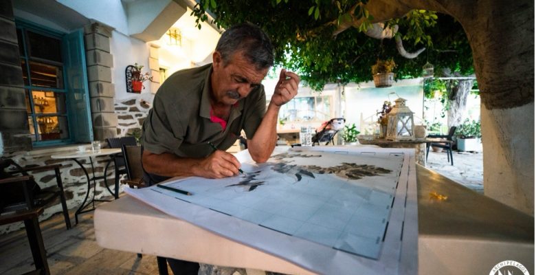
Ten fishermen were selected from the five Greek islands of Fourni, Arki, Patmos, Lipsi and Leros. All of them have been fishing using traditional methods in the same waters for several decades. Based on their memories and their daily experience of the coastline, they were asked to mark on a map the areas where they observe underwater seagrass beds.